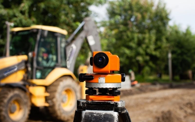
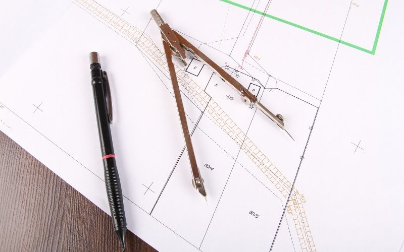
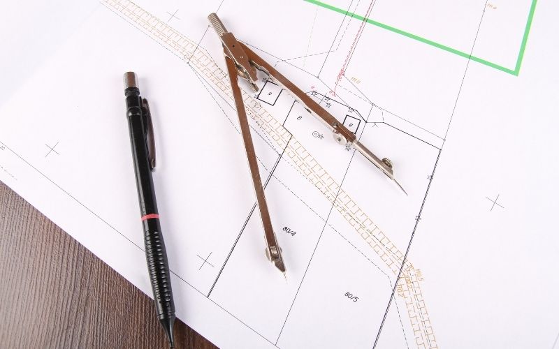
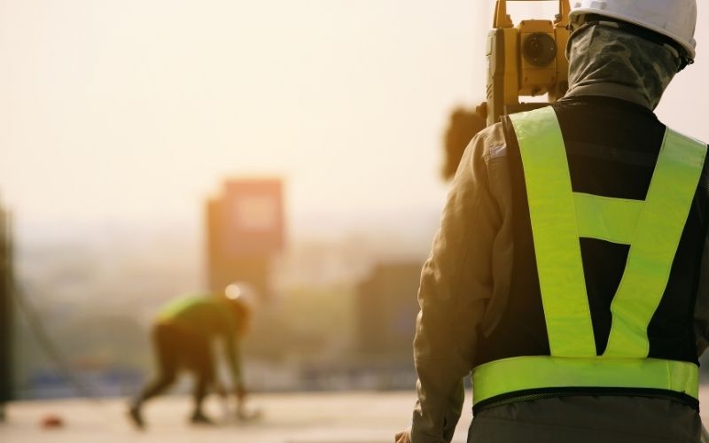
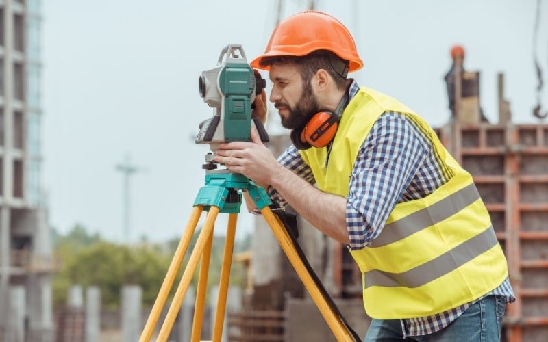
Geotechnical observation is a branch of science specializing in the study of measurement and processing of topographic and geological data from positions of elevation, size…
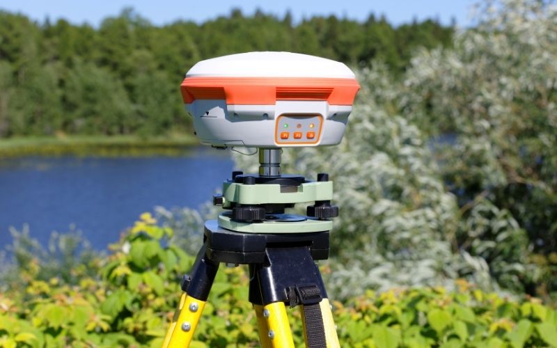
In this article, Tracdiaso shares with you the basic information about the top 5 popular geodetic measuring devices…
In this article, Tracdiaso would like to share with readers the concept of point positioning in geodesy, basic knowledge about leveling.
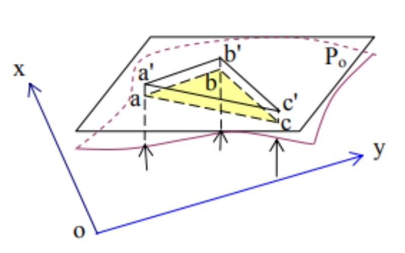
In this article, Tracdiaso would like to share with you the basic information about map projection and geodetic coordinate system.
In the process of conducting surveying or studying geodetic materials, you will most likely encounter English geodetic and cartographic terms and specialized terms.
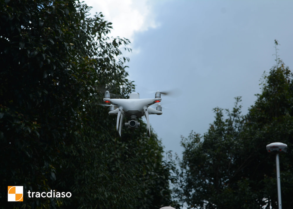
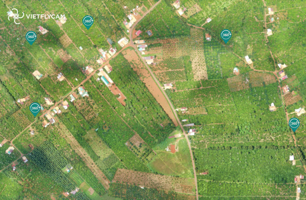
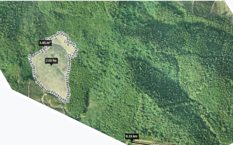
Flycam technology is applied in building 3D models of works and objects and applying it in the development of high-rise buildings, topographic surveys, traffic indications or measuring, surveying and calculating bronze statues. , …
In this article, Tracdiaso shares with readers basic information about geodetic coordinates, notes when using topographic maps.
Learn more about drone flying. Tracdiaso geodetic measurement in Nghi Son – Thanh Hoa area by UAV.
In this article, Tracdiaso would like to share with you the basic information about the application of digital surveying in the construction field.
In this article, Tracdiaso would like to share with you the basic information about the central geodetic service provider.
- 1
- 2


