Surveying in construction brings many benefits, serving the entire process of surveying, designing and constructing construction works, helping to improve work productivity. In this article, Tracdiaso would like to share with you the basic information about the application of digital surveying in the construction field.
Mục lục
What is digital geodesy?
Digital geodesy (geography or surveying) is a branch of the study of the Earth. The specific job of geodetic engineers is to collect image data, topographic features located on the surface of a certain area. From these data, the geodetic engineer simulates the features and data of that topography onto a paper plane, also known as a geodetic map.
Geodetic in construction
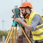
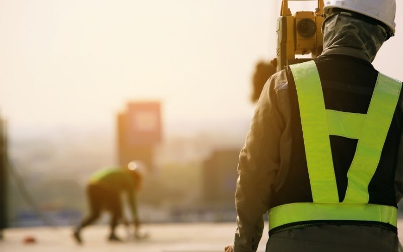
Geodetic work is an important stage in all survey, design, construction and installation works on construction site. More specifically, the main task of surveying in construction is to ensure that the building is built with the correct geometric size and design position. Only when these two basic requirements are met can the building operate safely. Moreover, geodetic work also supports construction work to take place much faster and more accurately than construction from practical experience without precise parameters.
Therefore, surveying work is now almost indispensable in construction because of the importance and extremely effective support that geodetic surveying brings to construction work. However, this close connection also comes with dangerous consequences such as if the geodetic work is wrong, it will lead to the wrong construction work, which seriously affects the quality of the work and can even cause collapse in the future. The construction process affects both investment costs and human lives.
Nationwide prestigious quality Tracdiaso service
Tracdiaso is a unit specializing in providing services related to surveying, surveying, surveying and creating topographic maps nationwide. With a solid technology foundation, a staff of highly qualified professionals, dedicated to the profession, and modern equipment that are always updated and improved regularly, Tracdiaso is committed to always providing customers with an excellent service experience. best and quality service.
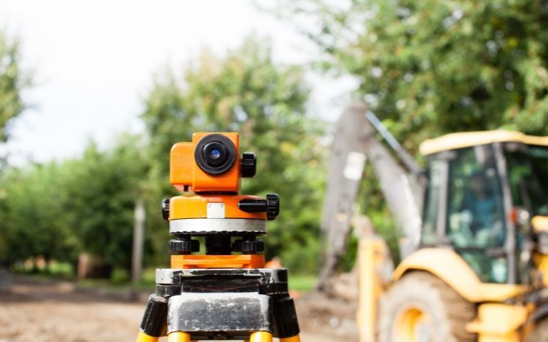
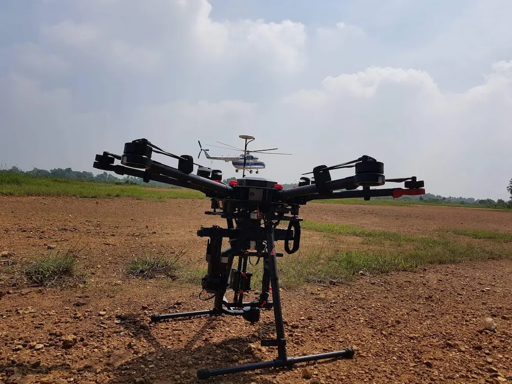
The intensive solution packages Tracdiaso provides towards professionalism and prestige. The drone devices that Tracdiaso use are DJI Matrice 600 Pro, DJI Phantom 4 Pro RTK, DJI Matrice 300 RTK
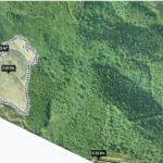
Some other typical geodetic survey projects using UAV technology that Tracdiaso has implemented:
- Mau Son Mountain (Lang Son)
- Seo My Ty (Sapa – Lao Cai)
- Po Ho hydroelectric dam (Lao Cai)
- Wind power Ia Bang (Gia Lai)
- Thac Ba (Yen Bai)
- Silver Waterfall (Sapa – Lao Cai)
- Tien Yen (Quang Ninh)
Giải pháp Trắc địa số toàn diệntại Tracdiaso.com
Hotline: 0917111392 - 0869191996
Địa chỉ: Tòa nhà D8, Đại học Bách Khoa Hà Nội, Trần Đại Nghĩa, Hà Nội, Việt Nam
Email: Vietflycam1102@gmail.com
Youtube: https://www.youtube.com/channel/UCgRFxKxd2vt5gn_mbS1sJgA