

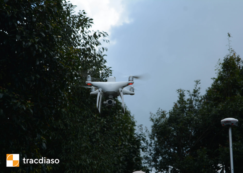
In the process of conducting surveying or studying geodetic materials, you will most likely encounter English geodetic and cartographic terms and specialized terms. Below is a summary of common geodetic English words, helping to look up and read geodetic faster and more accurately.
Mục lục
Surveying and maps English: Surveying
Measurement [‘məʒəmənt] (n): measure, measure
Relative [‘relətiv]] (adj): relative, relative to
Feature [‘fi:t∫ə] (n): feature point
Surface [‘sə:fis] (n): surface
Graphically [‘græfikəli] (adv): graphically
Numerically[nju:’merikəli] (adv): in digital
Distance [‘distəns] (n): distance
Angle [‘æηgl] (n): angle
Direction[di’rek∫n] (lift up
Location[lou’kei∫n] (n): location
Elevation [,eli’vei∫n] (n): altitude
Profile [‘proufail] (n): inclined section, drawing
Cross-section [‘krɔs’sek∫n] (n): cross section
Diagram[daiəgræm] (n): chart
Process [‘prouses] (n) processes
Field-work [‘fi:ld, wə:kə] (n) field work (field work)
Office-work [‘ɔfis, wə:kə] (n): domestic work
Uses of surveys: Applications of surveying
Establish[is’tæbli∫] (v) to establish, to establish
Boundary [‘baundəri] (n): border
Magnitude [‘mægnitju:d] (n): magnitude
Chart[t∫ɑ:t] (n): chart; (v): draw a chart
Charting of coast line: coastline map
Navigate [‘nævɪgeɪt] (v): navigation
Precise[pri’sais] (adj): exactly
Definite [‘definit] (adj): define
Magnetism [‘mægnitizm] (n) gravity field, magnetism
Scattered [‘skætəd] (adj): scattered
Portion [‘pɔ:∫n] (n): division
Property [‘prɔpəti] (n): properties, properties
Plane Surveying: Topographic Surveying
Consderd[kən’sidə] (v): consider, consider
Considered as = taken into account as = taken into consideration as
Spheroidal[sfiə;rɔidl] (adj): has a spherical shape
Horizontal [,hɔri’zɔntl] (adj): horizontal, horizontal; (n): horizontal line
Straight[streit] (adj): straight
Plum[pl∧m] (n): plumb
Parallel [‘pærəlel] (adj): parallel
Polygon [‘pɔligən] (n): polygon
Level line: standard line
Contour [‘kɔntuə] (n): contour line
Geodetic Surveying: Advanced Geodetic
Geodetic [,dʒi:ou’detik]: Geodetic Surveying: Advanced Geodetic
Branch[brɑ:nt∫] (n): branch, branch; (v): branching
Technique[tek’ni:k] (n): technique
Curvature [‘kə:vət∫ə] (n): curvature, curvature
Framework [‘freimwə:k] (n): base grid
Angular [‘æηgjulə] (adj): (belonging to) angular, angular
Positional[pə’zi∫ənəl] (adj): (belonging to) position
Global Positional System (GPS): Global Positioning System
Satellite [‘sætəlait] (n): satellite
Co-ordinate[kou’ɔ:dineit] (n): coordinates
Accuracy [‘ækjurəsi] (n): accuracy
Triangulation: Triangular Grid
Topographic [,tɔpə’græfik] (adj): (of) topographical measurement, of topographical
Vertex [‘və:teks] (n): peak, highest point
Absolute [‘æbsəlu:t] (adj): absolutely, completely
Geometric [,dʒi:ə’metrɪk] (adj): (of) geometry
Geometrical Figure: Graph
Condition[kən’di∫n] (n): condition
Adjusting: correcting
Quantity [‘kwɔntəti] (n): quantity, quantity, volume
Additional [ə’di∫ənl] (adj): to add, to add
Redundant[ri’d∧ndənt] (adj): excess, excess
Additional (Redundant): redundant measure
Electronic Distance Measurement (EDM): measure electronic length
Quadrilateral [,kwɔdri’lætərəl] (adj): quadrilateral
Trilaterration[trailætə’rei∫n] (n): measure of the three sides of a triangle
Trilateration framework: triangle mesh measure side
Ray[rei] (n): ray
Equilateral [,i:kwi’lætərəl] (adj): has equal sides
Configuration[kən,figju’rei∫n] (n): form, shape
Theodolite [θi’ɔdəlait] (n): theodolite
Measurement of Distance: Measure distance
Slope[sloup] (n): slope, slope; (v): inclined
Projection[prə’dʒek∫n] (n): projection, projection
Plot[plɔt] (v): draw a diagram, draw a graph, draw a chart, build a project (a construction work…); mark (something) on a chart, chart; draw line graph
Plotting map: Draw a map
Instrumentation [,instrumen’tei∫n] (n): instrumentation
Depict[di’pikt] (v): draw; describe, describe
Tacheometer[tæ’kimitə] (n): rangefinder
Vertical [‘və:tikl] (adj): vertical, vertical; (n): vertical plane
Azimuth [‘æziməθ] (n): (astronomy) the arch of the sky from the zenith to the horizon / (cartographic) the angle between that dome and the parallelogram; azimuth
Angular Measurement: Measure Angle
Trunnion [‘trʌniən] (n): axis of rotation
Underside [‘ʌndəsaid] (n): underside; bottom edge; bottom
Barrel [‘bærəl] (n): lens, viewfinder
Tripod [‘traipɔd] (n): tripod, tripod
Clamp[klæmp] (n): set screw; clamps, clamps; (v): to pair, to fasten; Hold it tight, hold it tight
Tube[tju:b] (n): tube
Towards[tə’wɔ:dz] (adv): towards
Loosen [‘lu:sn] (v): loosen up, loosen up
Diaphragm [‘daiəfræm] (n): grid of crosses
Tangent screw [‘tændʒənt – skru:]: movable screw
Altitude [‘æltitju:d] (n): altitude above sea level
Levelling: Leveling
Datum [‘deitəm] (n): (plural data) given quantity (problem…); said thing; arguments / (plural datums) datum, datum, datum plane
Longitudinal [,lɔndʒi’tju:dinl] (adj): vertically
Perpendicular [,pə:pən’dikjulə(r)] (adj): perpendicular, orthogonal; (n): perpendicular line
Collimation [,kɔli’mei∫n] (n): (physics) collimation, horizontal aiming beam
Gradient [‘greidjənt] (n): slope, slope
Benchmark [‘bent∫mɑ:k] (n): elevation point, elevation landmark, check mark
Back sight [‘bæksait] (n): reverse sight, back sight, rear sight
Foresight [‘fɔ:sait] (n): forward aiming direction
Collimation [,kɔli’mei∫n] (n): standard line, horizontal aiming beam
Overlay [‘ouvəlei] (n): the covering
Interpretation[in,tə:pri’tei∫n] (n): interpolation
Traverse Survey: Survey Pass
Traverse [‘trævə:s] (n): pass
Bearing [‘beəriη] (n): azimuth, directional angle
Schematically[ski:’mætikli] (adv): in the form of a diagram, in the form of a graph
Meridian[mə’ridiən] (n): meridian
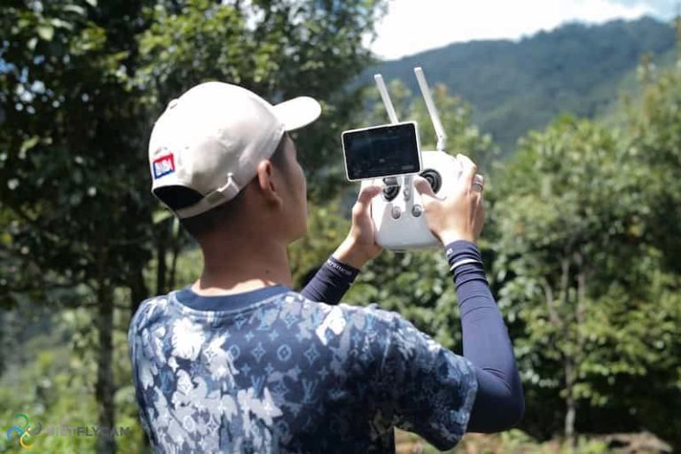
See also: Establishing a cadastral map using UAV technology – VietFlycam
Some English terms and definitions specialized in Surveying and Mapping
Here are some common basic English terms and definitions:
Observation session (measurement shift): The period of time to test the signal on the measuring station from the time the machine is turned on to the time it is turned off
Simultaneous observation (synchronous measurement): Measurement value of two or more receivers receiving signals from the same satellite
Simultaneous observation loop (synchronous measuring loop): The closed loop of the vectors is made up of 03 gauges in the same shift or more.
WGS-84: World Geodetic System – 1984
Global Positioning System (GPS): Global Positioning System
UTM: Universal Transverse Mercator
PDOP: Position Dilution of Precision
UTC: Universal Time Coordinate
Global Navigation Satellite System (GNSS) : Global navigation satellite system
Plumb bob : plumb
Optical plunge : optical plunger
Total station : electronic total station
Horizontal angle : angle equal to
Vertical angle : vertical angle
Horizontal plane : horizontal plane
Vertical plane : vertical plane
Horizontal circle : horizontal table
Vertical circle : vertical table
Horizontal hair : only horizontal
Vertical hair : only standing
Circle left : left degree table
Circle right : right level table
Trunnion axis : axis of rotation of the lens
Setting up : set up the device
Holding bolt : connecting bolt
Levelling-up : machine balancing
Inner axis : vertical axis
Bubble tube : water tube
Footscrew : weight screw
Index error : error MO
Longitudinal section : longitudinal section
Procedure in leveling: hydrometric method
Contouring: draw contour lines
Dotted line: dotted line (…), dashed line
Vertical interval: uniform height
Photogrammetric: (of) measure photo
Gridding : grid of squares
Traversing : polygon pass
Closed loop traverse : closed loop traverse
Closed line traverse : suitable pass
Unclosed traverse : hanging pass
Leg length : side length
Intenal angle : inner angle
Assumed bearing : assumed azimuth
Motional carrier : flying object
Semimajor axis : semi-major axis
Static receiver : static receiver
Kinematic receiver : dynamic receiver
Carrier phase : load wave phase
Coordinatograph : coordinate transfer machine
Thus, we have introduced to you about “Some English terms specialized in Geodetic and Map”. Hope this is a useful post.
Giải pháp Trắc địa số toàn diệntại Tracdiaso.com
Hotline: 0917111392 - 0869191996
Địa chỉ: Tòa nhà D8, Đại học Bách Khoa Hà Nội, Trần Đại Nghĩa, Hà Nội, Việt Nam
Email: Vietflycam1102@gmail.com
Youtube: https://www.youtube.com/channel/UCgRFxKxd2vt5gn_mbS1sJgA

