


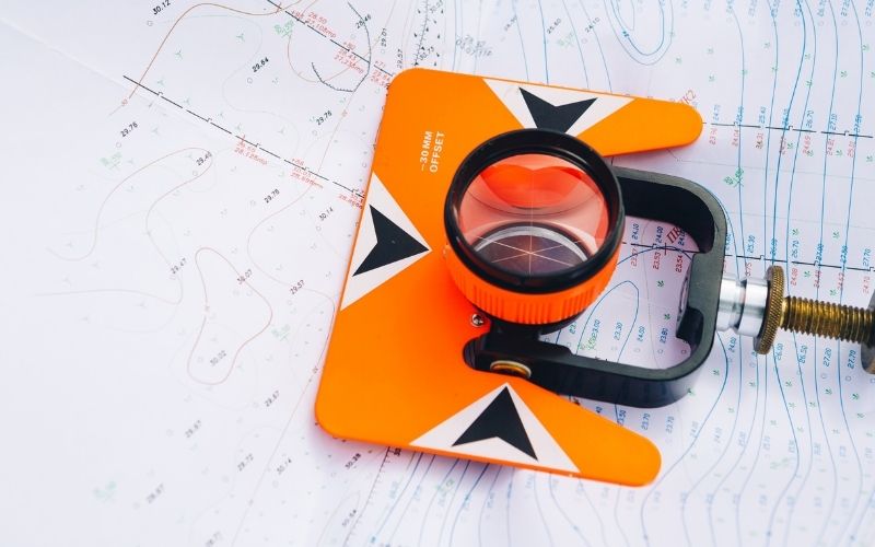
Geodesy is a profession requiring high expertise, contributing important roles in many fields of social life. The potential of geodesy is growing, opening up many opportunities for those who pursue this field. That’s why recently, there are quite a few people interested in the profession of surveying, what is cartography, what jobs should a geodetic engineer do. Right here, Tracdiaso would like to share with you the basic information about the popular geodetic measuring devices in the field of geodetic surveying.
Mục lục
What is cartography?
Answering the question of what is geodetic surveying, tracdiaso would like to be defined as follows: geodesy, geodesy or geodesy is a science about the Earth, specifically measuring and processing geodetic data. Figures and features located on the surface of the Earth to draw on the plane of paper or the map itself.
Commonly used geodetic devices
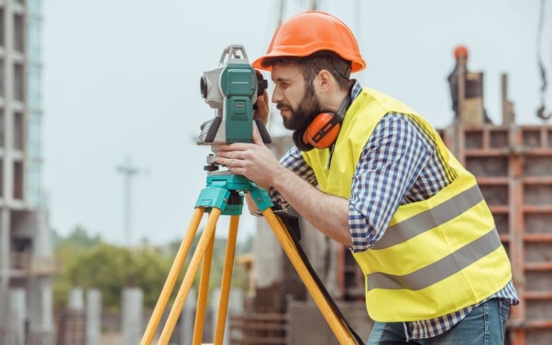
Theodolite
The theodolite is a familiar device for those doing Geodetic – Cartography work, so in this section we would like to not introduce it carefully. The theodolite consists of three basic axes:
- The axis of rotation of the machine, which is required to coincide with the plumb line and pass through the center of the geodetic control landmark;
- The axis of rotation of the lens, which is required to be perpendicular to the axis of rotation of the camera and perpendicular to the axis of the viewfinder;
- The sight axis of the lens, this axis contains the prisms and requires that the prisms when translating the optical correction must have the same axis and coincide with this axis.
In addition to the three basic axes, the theodolite also has a horizontal table for measuring equal angles, and a vertical table for measuring vertical angles. The construction of these tables is mostly made of high-quality glass
Water tank machine
The leveling machine is a device used to measure the height difference, measure the distance with high accuracy accurately, commonly used in field surveys.
Laser leveling machine
Is a specialized equipment used in the field of construction inspection and interior decoration. The laser leveling machine is an indispensable companion to keel angles, check the inclination in detail…
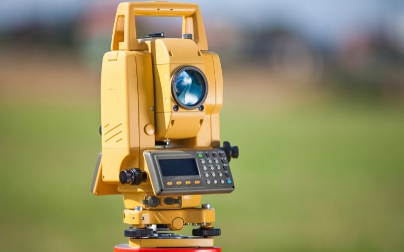
Electronic total station
The combination of an electronic rangefinder and an electronic theodolite is a device known as an Electronic Total Station. This is an extremely efficient device. Even today, electronic total stations are integrated with a number of automatic calculation programs, which can immediately solve some simple problems in measurement, increasing labor productivity many times compared to traditional methods. .
Electronic total stations store measurements in a device called a “field book”. Nowadays, because memory card manufacturing technology has been very advanced, storing measurement data has many advantages, avoiding unfortunate mistakes when having to copy and record measurement books. In addition to the usual angle measurement and edge measurement functions. Total station also performs general functions such as: Measuring missed distances, arranging design drawings in the field, meeting to find points, shifting inclined distances to horizontal distances, …
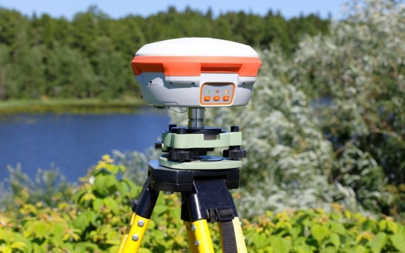
GPS locator
GPS locator is a geodetic measuring device used to accurately assess the position of latitude and longitude of the ground position within a certain distance, using the C1 code measurement value in the moment of collection from about 1 to 1. ,5 minutes.
Giải pháp Trắc địa số toàn diệntại Tracdiaso.com
Hotline: 0917111392 - 0869191996
Địa chỉ: Tòa nhà D8, Đại học Bách Khoa Hà Nội, Trần Đại Nghĩa, Hà Nội, Việt Nam
Email: Vietflycam1102@gmail.com
Youtube: https://www.youtube.com/channel/UCgRFxKxd2vt5gn_mbS1sJgA

