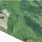
In this article, Tracdiaso would like to share with readers basic information about geodetic coordinates as well as notes when using topographic maps.
Mục lục
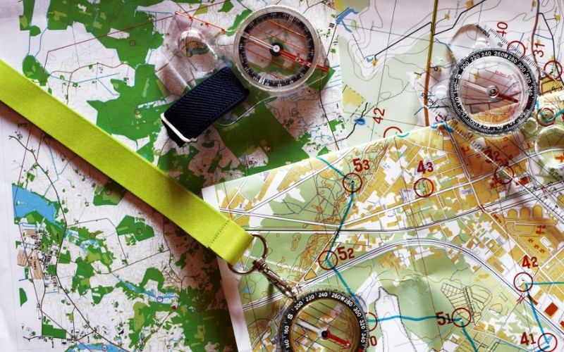
Map orientation in the field
- Orientation by linear terrain: can use road, railway, canal route to orient the map. The essence of this method is to bring the map to the field at the clear position of the linear feature, rotate the map so that the direction of the linear feature on the map coincides with its corresponding direction on the field, we will the map rotates in its correct direction.
- Orientation by geographical area: To orientate, we place on the map an area so that its north-south line is parallel to the north-south direction of the grid of coordinate squares on the map. Rotate the map so that the field needle coincides with the north – south connection of the area, the map will rotate in the right direction.
Determine the length on the map
To determine the length of a line segment on a geodetic coordinate system map, we measure the length of that line segment on the map and then multiply by the map scale to get its corresponding length in the field. To determine the length of a curved segment on the map, we differentiate the curved segments so that these segments can be considered as straight lines, then measure the differential line segments, multiply by the map scale, we will get the length of the segment. curved.
It is possible to determine the length of the curved segment with a length meter: S = K (Un – Uo). Where Uo is the initial reading on the machine corresponding to the beginning of the curve; Un : the reading on the machine after running the wheel of the machine from the beginning to the end of the curve; K: the value of a division of the machine.
Determine the angle on the map
- Suppose it is necessary to determine the angle by (β) clamping the two line segments OE and OD on the map, because the map projection is a co-orthogonal projection, we can use the measure of direct angle measure (β) on the map. thing.
- Determine the directional angle of the line on the map: the directional angle of the line on the map is the angle from the north OX axis or the line parallel to the OX axis to the line direction, so also measure directly as for measuring equal angles.
- Angle and directional angle can be determined by plotting coordinates on the map.
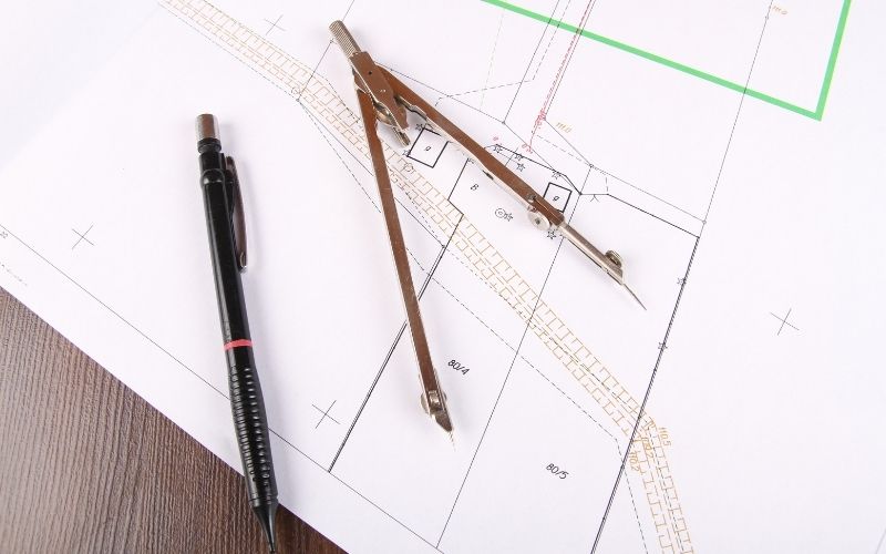
Determine the coordinates of a point on the map
- Determine the geographical coordinates of a point: on a map with a grid of latitude and longitude, the values of the longitude lines
degrees and latitudes indicated by black and white lines on the four sides of the map frame. Suppose we need to determine the geographical coordinates of point M. Through M we draw a line parallel to the edge of the meridian cell and the other parallel to the edge of the parallel cell; From the ratio of measured lines, we will determine the geographical coordinates of point A.
- Determine the perpendicular coordinates of a point: the perpendicular coordinates are determined on the map based on
to the grid of coordinates squares of the map. Assuming that we determine the perpendicular coordinates of the point N, through the point N we draw two lines to cut the sides of the square containing the point N, using the ruler to measure the lengths of the segments a, b, c, d, from this measurement data. We can determine the perpendicular coordinates of the point N:
Where M is the denominator of the map scale.
Determine the height of a point on the map
On the map, the elevation of the points is determined based on the contour line. Suppose it is necessary to determine the height of three points A, B, C on the map; because point A lies on the contour line 10m, point C lies on the contour line 5m, so they have the same height as the contour line, ie: HA = 10m, HC = 5m; and the elevation of point B must be interpolated.
To interpolate the height of point B, we use the measure of the n and m segments and apply the interpolation formula:
HB = 5m + hCB = 10m – hBA
Giải pháp Trắc địa số toàn diệntại Tracdiaso.com
Hotline: 0917111392 - 0869191996
Địa chỉ: Tòa nhà D8, Đại học Bách Khoa Hà Nội, Trần Đại Nghĩa, Hà Nội, Việt Nam
Email: Vietflycam1102@gmail.com
Youtube: https://www.youtube.com/channel/UCgRFxKxd2vt5gn_mbS1sJgA