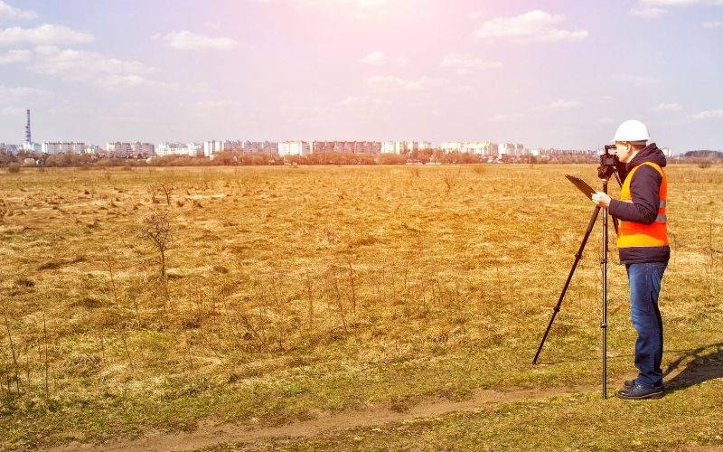
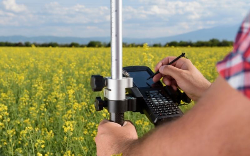
In this article, Tracdiaso would like to share with readers the concept of positioning points in geodesy, basic knowledge about leveling and elevation system.
Mục lục
The concept of point positioning in geodesy
The natural ground is a complex physical surface, the whole earth is almost like a giant water ball with more than 2/3 of the surface area being oceans and the rest of the area is continents and islands. On the ground, there is an elevation of over 8km (the top of Chomoluma, the Hymanaya range); Under the ocean, there are places below -11km deep (Marian crater in the Pacific Ocean). The average altitude of the continent above sea level is about +875m.

To study the earth and represent it on a plane, geodesy have to take measurements of the ground. This geodetic work is essentially the determination of the positions of the characteristic points of the earth’s surface in a certain coordinate reference system and can be understood as the positioning of points. The position of points on the ground is determined by the composition of the coordinates of the plane and the height.
Leveling surface and elevation system
Elevation is an important component to determine the spatial position of points on the ground, to have the elevation of the points we must determine the elevation reference planes.
Level surface
The average sea surface in a calm, imaginary state extends across continents and islands to form a closed surface called the earth datum. Each country, on the basis of many years of sea level monitoring data from tidal stations, has built its own high-level titration surface called the original datum level.
At any location in geodesy on the original datum, the plumb line direction (gravity direction) always coincides with the linear method. Because matter is unevenly distributed in the earth’s interior, the plumb line direction at points on the original leveling surface does not converge to the center of the earth, making this surface rough, wavy, and this is just the surface. physics. In geodesy, the leveling surface is used as the high-level titration surface. Levels parallel to the origin are called conventional datum planes, there are infinitely many conventional datum planes.
Altitude system
The absolute height of a point on the ground is the distance in the plumb line direction from that point to the datum level. In Figure 1.1, the absolute heights of points A and B are respectively the HA and HB segments with positive values, and the difference in height between them is called the height difference hAB. In Vietnam, the absolute altitude system (normal altitude) takes the original leveling surface as the average sea level over many years of observation at Hon Dau tidal station (Do Son, Hai Phong).

The elevations of the state control grid points, the elevations in topographical and cadastral maps and key state works must all be associated with this absolute altitude system. The relative height of a point (conventional or assumed elevation) is the distance in the plumb line direction from that point to the conventional datum. In Figure 1.1, if the leveling plane passing through point B is selected as the conventional leveling surface, then the conventional height of point A is the segment hAB.
For small-scale works, built in remote places far from the state elevation system, conventional elevations can be used. In the construction of industrial and civil works, people often choose the conventional leveling plane which is the ground floor of the first floor.
Giải pháp Trắc địa số toàn diệntại Tracdiaso.com
Hotline: 0917111392 - 0869191996
Địa chỉ: Tòa nhà D8, Đại học Bách Khoa Hà Nội, Trần Đại Nghĩa, Hà Nội, Việt Nam
Email: Vietflycam1102@gmail.com
Youtube: https://www.youtube.com/channel/UCgRFxKxd2vt5gn_mbS1sJgA


