Mục lục
What is geotechnical monitoring?
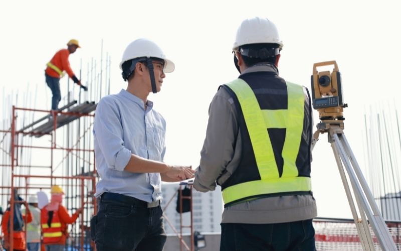
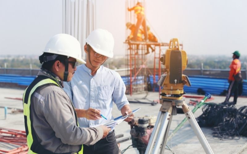
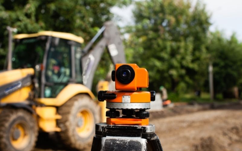
Geotechnical observation is a science specializing in the study of measurement and processing of topographic and geological data from positions of altitude, size, and direction on the Earth’s surface. This field developed early and quite strongly in European countries. Currently, surveying has been gradually asserting an extremely necessary role in all fields in Vietnam.

The construction of houses, the management of land planning, the works of roads and bridges, electricity, irrigation as well as the management of natural resources and minerals all need this geodetic technique. It can be said that this is an industry that is closely related to many different fields.
The importance of geodetic monitoring
The Earth is constantly changing, while the displacement behavior of the soil is quite complicated because it is influenced by many factors: elastic force, gravity, creep… Nowadays, simulation methods Modern as finite element is an effective support tool for geotechnical engineers.

No matter how modern science and technology develops, it is difficult to avoid errors or errors. At this time, geodetic monitoring techniques can verify the calculations and limit the damage of the soil and associated structures.
Geodetic monitoring can also be controlled in construction works, helping to make project design more accurate and efficient. This also contributes greatly to the economy and ensures the safety of future works.
Geotechnical monitoring includes:
- Horizontal displacement monitoring
- Monitoring groundwater level
- Monitoring pore water pressure
- Deep subsidence monitoring
- Construction settlement monitoring
- Project tilt monitoring…
Giải pháp Trắc địa số toàn diệntại Tracdiaso.com
Hotline: 0917111392 - 0869191996
Địa chỉ: Tòa nhà D8, Đại học Bách Khoa Hà Nội, Trần Đại Nghĩa, Hà Nội, Việt Nam
Email: Vietflycam1102@gmail.com
Youtube: https://www.youtube.com/channel/UCgRFxKxd2vt5gn_mbS1sJgA


