There are many digital surveying service providers on the market today. In this article, Tracdiaso would like to share with readers basic information about the most prestigious surveying and mapping company in the North..
Mục lục
What is geodesy?
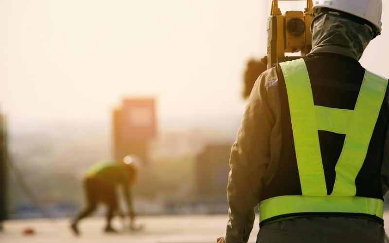
Geodesy is a science specializing in the study of the earth with the task of determining the shape and size of the earth as well as collecting data, images, topographical features on the surface of an area. there. From the collected data, engineers have the task of simulating and displaying them on a paper plane, also known as a geodetic map, cross-sectional map, etc.

Tracdiaso surveying and mapping company
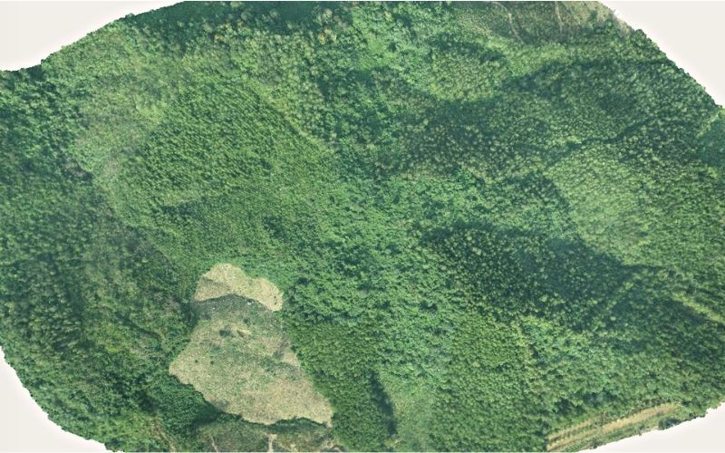
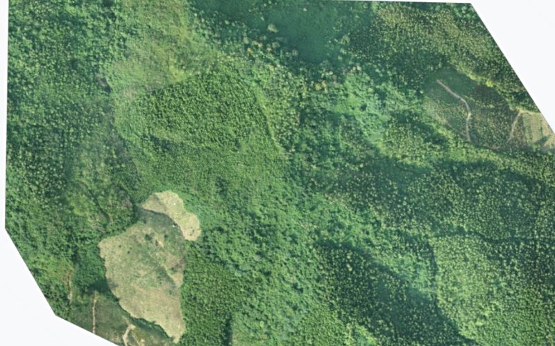
Tracdiaso is a surveying service provider that applies UAV technology and flexibly uses geodetic equipment as well as unmanned aircraft. The service packages that Tracdiaso provides are aimed at solving profound problems during operation. The products that customers receive when experiencing the service at Tracdiaso are: 2D geodetic maps, 3D terrain-scanning flight models, VR 360 images, account access to the storage and display software system. display and automatically process geodetic data.
Geodetic map 2D
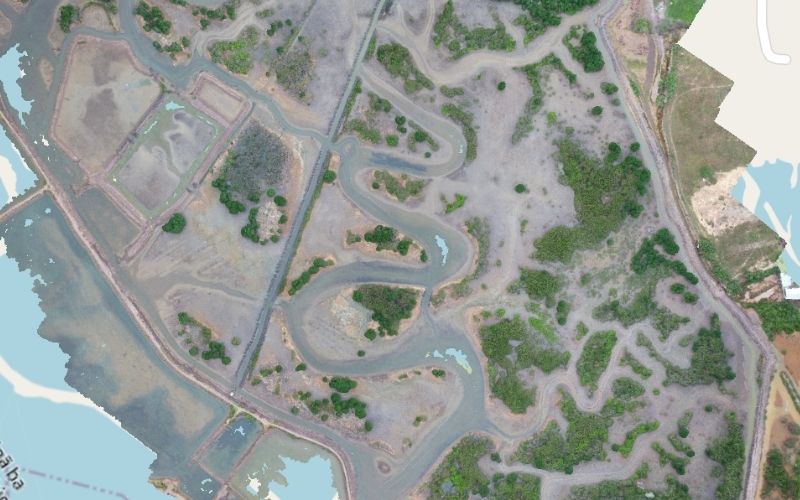
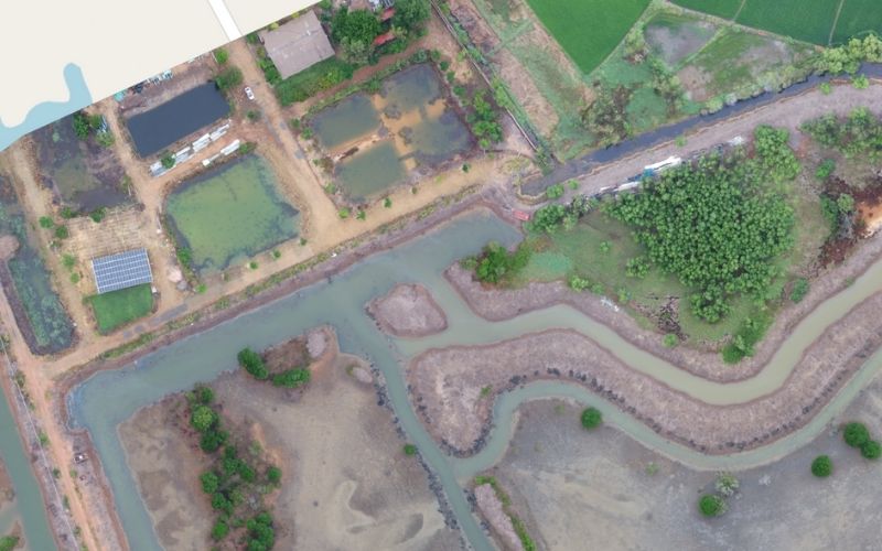
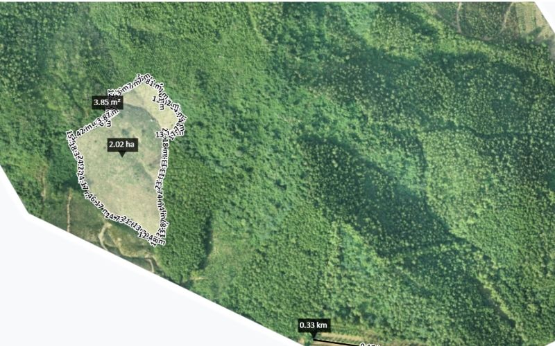
From data image data collected by drones, Tracdiaso proceeds to create maps using UAV technology. The online geodetic map on the system integrates the functions of calculating the area and measuring the length of the object by simply dragging and dropping the mouse.
3D models for terrain, features
Unmanned aerial vehicle device is used flexibly by Tracdiaso in scanning flight The ground features, topography are shown quite fully and in detail in the 3D model. The parameters of volume, angle, and height of objects are calculated and measured easily thanks to the built-in tools on the system.
360 . VR Photos
UAV technology effectively supports the work of collecting VR 360 images for the area, providing viewers with the most comprehensive and comprehensive view.
Online surveying software system
Besides the usual surveying products like other surveying and mapping companies, Tracdiaso also provides users with an account that can access the online surveying software system.
Customers can easily access the system, calculate and measure online right on their account, observe, evaluate and share projects to their customers with a few quick and convenient mouse clicks. convenient.
Readers interested in digital surveying services, please contact hotline (+84) 917 111 392 or email Vietflycam1102@gmail.com for advice on service packages and detailed quotes. Best.
Giải pháp Trắc địa số toàn diệntại Tracdiaso.com
Hotline: 0917111392 - 0869191996
Địa chỉ: Tòa nhà D8, Đại học Bách Khoa Hà Nội, Trần Đại Nghĩa, Hà Nội, Việt Nam
Email: Vietflycam1102@gmail.com
Youtube: https://www.youtube.com/channel/UCgRFxKxd2vt5gn_mbS1sJgA


