GPS RTK geodetic machine is a measurement technology with the ability to measure details at large distances, fast measurement speed, and minimize the influence of measurement errors on measurement results. The actual measurement time is only 1/3 and the manpower is 1/2 of the measurement method using an electronic total station.
Mục lục
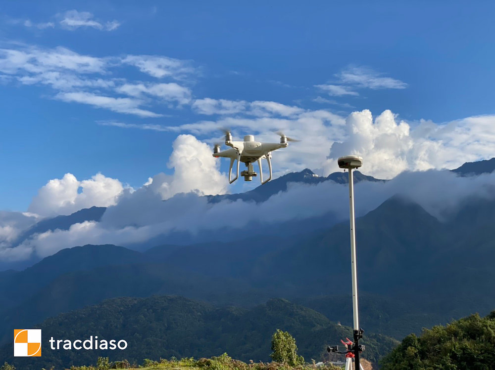
Advantages of RTK GPS Surveyor in topographic surveying flight
GPS RTK measurement technology is no longer strange in Vietnam. As a new and advanced technology, RTK GPS measurement technology possesses many preeminent features such as:
It does not require navigation between measurement points.
Measurement using GPS technology requires less time than traditional measurement methods.
The results of measurements using GPS technology are in a uniform coordinate system around the world.
Measurement data obtained by GPS technology are all in digital form, which is easy to convert to automatic mapping systems.
Why RTK GPS Geodetic Machine is popular with users?
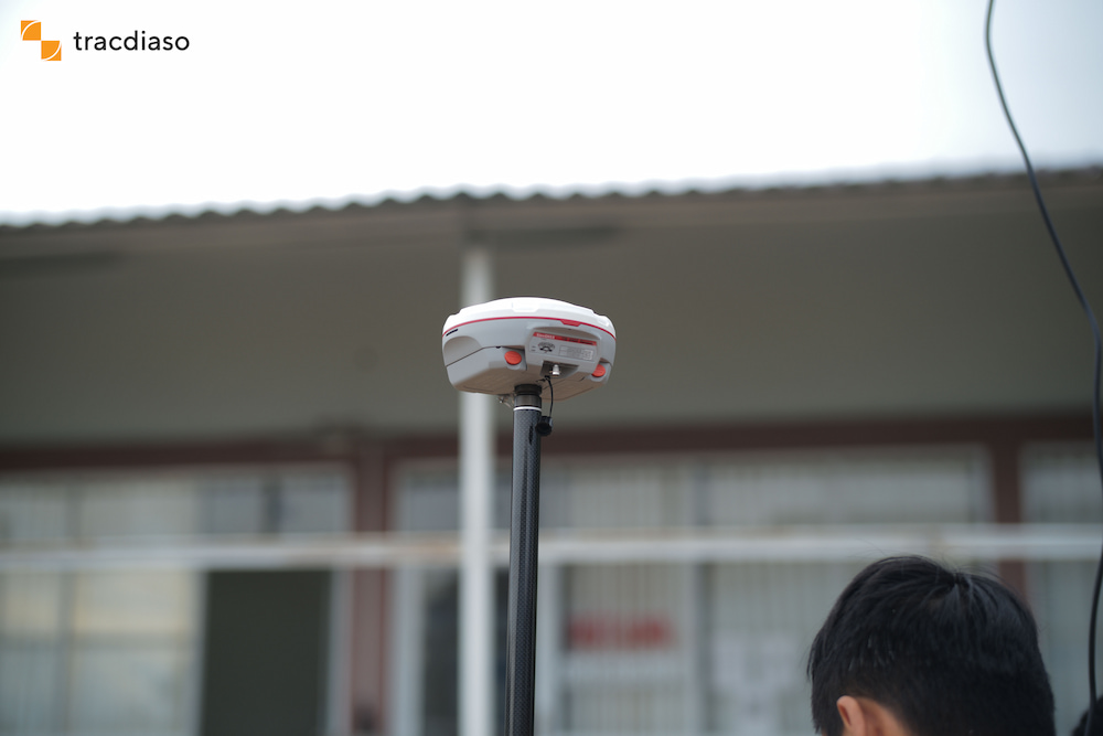
Construction time is shortened when using GPS receiver.
With the ability to measure details at a large distance, the station has little to move, so the measurement speed is fast, because it only depends on the user’s ability to approach the measuring point. measure. With a meter, the measurer can reach 600 to 700 points per working day when measuring and drawing large-scale cadastral maps in clear areas, open fields and good weather. The coordinate value of the top of the plot is obtained directly in the field without the need for internal calculation.
The manpower allocated to each measuring team is small.
If the area to be measured is easily moved, only one person per measuring team can be carried out. With a static station can work with many dynamic stations. No need for people to mirror, record books, draw diagrams and develop workstations.
The measurement time is shortened compared to the traditional total station measurement method.
Due to the automatic measurement and storage of measured data, the influence of the error caused by the tester on the measurement results is minimized. The reliability of the measured data is improved both qualitatively (measurement point properties) and quantitatively (coordinates). The acquisition of measurement point properties is carried out by direct measurement point coding, so it is very specific, with few errors. This is very important when processing data on automatic digital mapping software.
Specifically, for the 1/2000 scale measuring area with the number of measuring points of nearly 500 points, using the GPS-RTK method only takes 2 days with 03 technicians. Similar to the number of points above, if using the total station method, it takes up to 6 days with 03 technicians. Thus, through actual testing between the two methods, it can be concluded that: “The measurement method uses GPS RTK in cadastral mapping, The actual measurement time is only 1/3 and the manpower is 1/2 of the measurement method using the total station.
Giải pháp Trắc địa số toàn diệntại Tracdiaso.com
Hotline: 0917111392 - 0869191996
Địa chỉ: Tòa nhà D8, Đại học Bách Khoa Hà Nội, Trần Đại Nghĩa, Hà Nội, Việt Nam
Email: Vietflycam1102@gmail.com
Youtube: https://www.youtube.com/channel/UCgRFxKxd2vt5gn_mbS1sJgA